
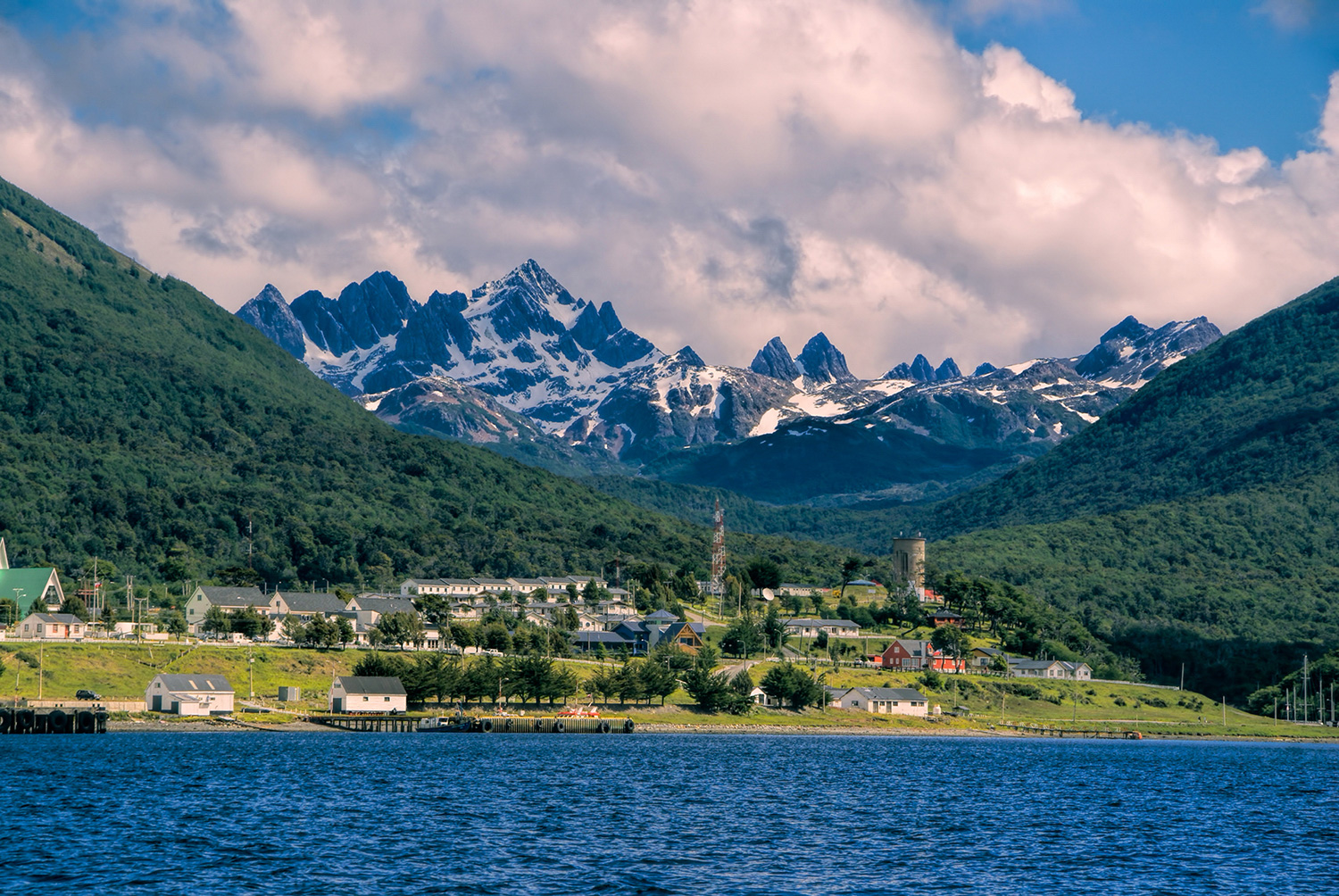
Your journey begins with a flight from Punta Arenas to Puerto Williams, a remote town on Navarino Island. After arriving, you will settle in at Errante Lodge and enjoy time to take in the atmosphere of one of the southernmost towns in the world. In the evening, you will share dinner and receive a briefing for the trekking days ahead. You may also ask your guide about visiting OMORA Ethnobotanical Park.
Overnight at Errante Lodge.

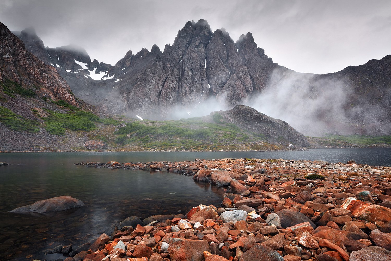
The Dientes Circuit begins with a walk toward Laguna del Salto, surrounded by views of the Beagle Channel and Puerto Williams. Depending on weather and trail conditions, the route may follow the upper slopes of Róbalo Valley or continue along the back of the valley. Either way, the landscape quickly reveals the wild beauty of Navarino Island before you arrive at camp for a warm dinner and your first night outdoors.
Overnight Camping.

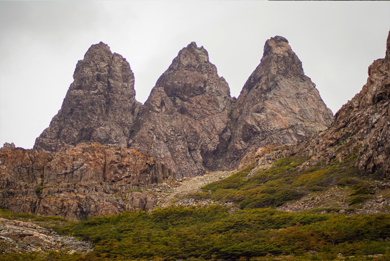
Today you will cross the Dientes de Navarino mountain range, passing lakes and open landscapes with views toward Nassau Bay and the Wollaston Islands, part of the legendary Cape Horn area. The route climbs toward Ventarrón Pass, where the jagged Dientes peaks and Mount Codrington appear across the horizon. After taking in the views, continue through the remote terrain toward Laguna Martillo, your second campsite.
Overnight Camping.

After breakfast at camp, continue toward Guerrico Valley, walking through forests and open terrain with views of the Lindenmayer peaks. The day’s main challenge is the climb to Virginia Pass, the highest point of the trek, where sweeping views open across the sea and Tierra del Fuego. From there, the route continues toward the next campsite, where you can rest, share dinner, and prepare for the final trekking day.
Overnight Camping.

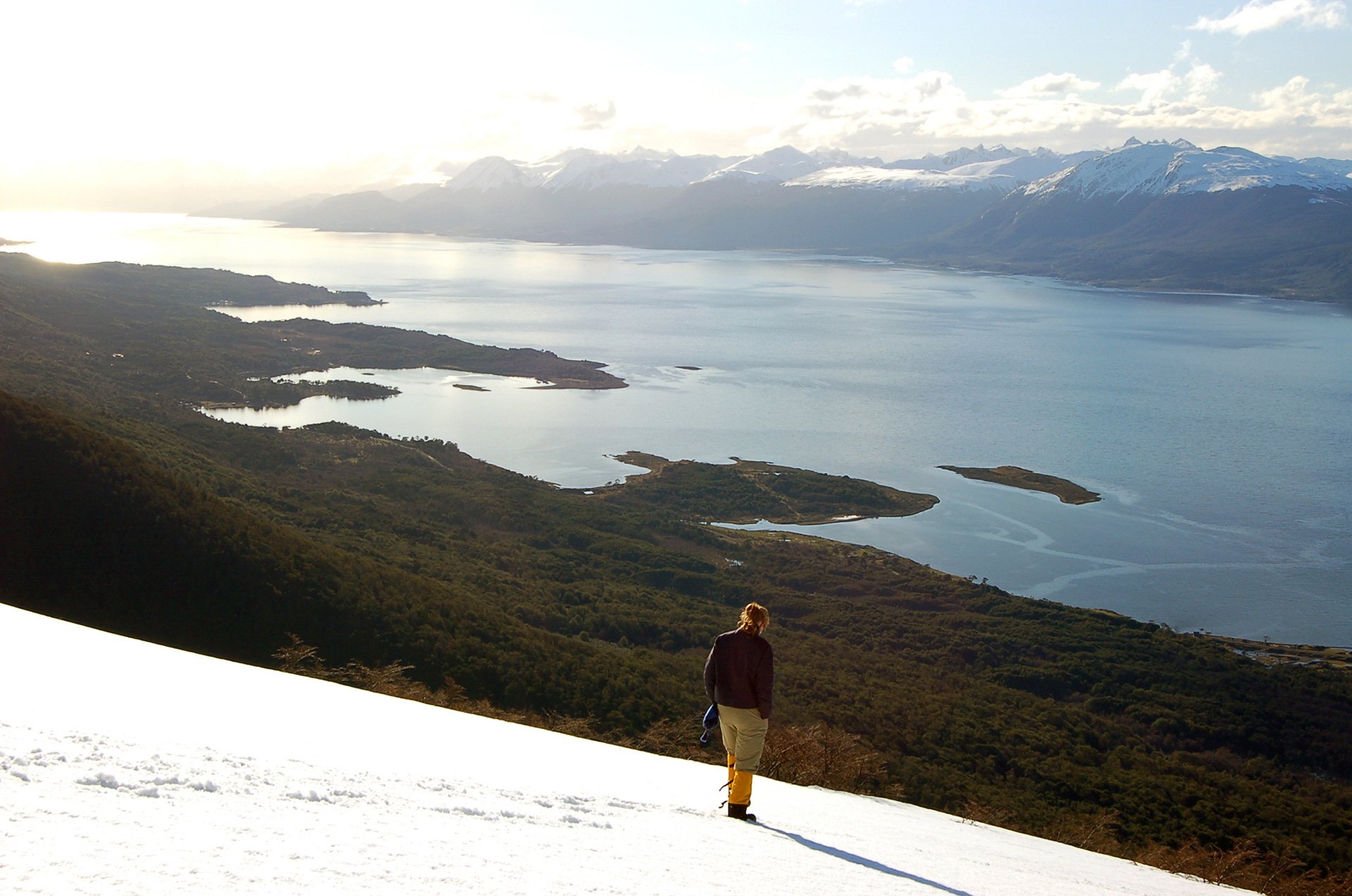
Your final trekking day follows a downhill route toward the ocean, leaving the wild interior of Navarino Island behind. As the trail descends, the landscape gradually opens toward Puerto Williams and the Beagle Channel. You will reach Errante Lodge in time for lunch, with the afternoon free to rest, walk around the village, and share stories from the southernmost circuit in the world before dinner at the lodge.
Overnight at Errante Lodge.

After breakfast, it is time to say goodbye to Navarino Island. You will leave Puerto Williams on a short flight back to Punta Arenas, carrying unforgettable memories of remote trails, mountain passes, wild campsites, and the dramatic landscapes of the southernmost trekking circuit in the world.

*You must carry your own backpack, daily snack, mat, and sleeping bag.
Errante Lodge is an ecological refuge at the end of the world, located in Puerto Williams on Navarino Island. Built by its owners with a warm and simple spirit, this small lodge offers beautiful views of the Beagle Channel and a comfortable place to rest before and after the trek.


During the trek, you will camp in remote areas suitable for spending the night along the Dientes de Navarino Circuit. These wild campsites offer a close connection with the landscapes of Navarino Island, surrounded by forests, lakes, valleys, and mountains.


Regular and private departures are available subject to availability from November to March.
Please confirm availability and rates with your travel experience designer.
The trip starts and ends at Punta Arenas Airport. This trip can also start or end in Ushuaia, Argentina, if requested.
This trip is suitable for skilled trekkers in excellent physical condition. The route crosses uneven terrain, exposed areas, mountain passes, forests, bogs, and wet sections. Weather can make the trek more demanding, especially where there is no forest protection.
This trip is not available for children under 12 years old.
No minimum number of participants is required. The maximum group size is 8 people.
Puerto Williams has a temperate, subpolar oceanic climate. Summers are short and cool, while winters are long, wet, and moderate. Rainfall is frequent, temperatures remain fairly stable throughout the year, and snowfall can occur even in summer. Weather can change quickly during the trek.
You should bring trekking boots, waterproof jacket and pants, warm layers, gloves, hat, sunglasses, sunscreen, headlamp, personal toiletries, water bottle, and a backpack suitable for carrying your personal gear, mat, sleeping bag, and daily snack. A detailed packing list will be sent before departure.
We reserve the right to change the order of the itinerary at the discretion of the guide and based on operational considerations. The guide may also modify, change, or eliminate part of the itinerary based on safety, weather, trail conditions, or other relevant considerations.
Searching Availability...


Updated October 4th, 2022
Dear Traveler,
We are very happy to announce that there are currently no travel restrictions in Chile.
Together with the above mentioned, it is mandatory to comply with the following requirements:
In case you have any questions, we will be happy to help you!
Best,
The Team at Cascada Expediciones & EcoCamp Patagonia
